
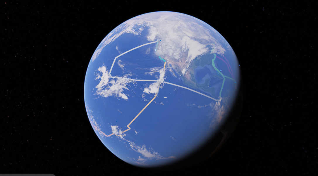
After our family returned to Seattle this past summer, Jenna and I put together a tool that maps out the route of our entire circumnavigation on Google Earth. It turns out that this is a great visual aid in presentations we give to local groups. It is very cool.
To build this, we created a project in Google Earth and entered in all of the waypoints from our entire nine-year circumnavigation. Each year of sailing is represented by a different colored line. As you rotate the planet, you can see the route we have sailed for each year of our adventure cruise.
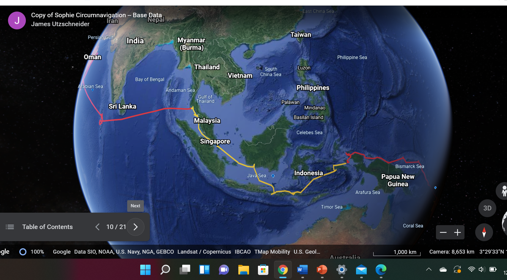
You can literally scroll the globe and “see” where we traveled. For example, the picture above shows our 2015 route, where we sailed from the Raja Ampat region of Indonesia to Phuket, Thailand. This was one of my favorite years of the passage and included stops in Komodo, Bali, and Singapore.

In most locations, you can use the tool to zoom in and see the actual harbors where we stopped. Here is a screenshot of where we stayed in Venice. The red line shows our track in and out of the inner harbor.

Zoom in some more, and you can see the Marina Santelena in Venice and the actual DOCK where we stayed. By the way, this marina was a spectacular location, just a 5 minute walk to the Biennale and the Piazza San Marco.
Anyway, I have no idea if this will work, but here is a link to the Sophie Circumnavigation Google Earth Project. Click here to access the web page. Once you are there, click the Present button and off you go! Please leave me a note in the blog comments if you have any questions or feedback.

This is really COOL ! Dear Jamie and Jenna. Thank you for sharing this superb summary of your great voyage ! Congratulations ! As usual, we enjoyed reading yesterdays post. as well. Werner, Heidi, Karen, Gunnar, Ruth.
You’re very welcome! We need to connect the next time we visit NYC.