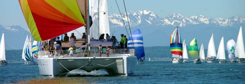

Here is a quick post with the waypoints for where Sophie stayed during our visit to the Komodo area. It’s intended for boats following in our footsteps. And as you can see from the above picture of our anchorage in Rinca, our new Navionics charts are still off by up to a quarter of a mile! Either that or a dragon picked up Sophie in the middle of the night and flew us to her nest.
Labuan Bajo – 08.30.380S 119.52.341E
We anchored a mile south of town off the beach in front of the La Prima Hotel in 50 feet of sand. It was quiet and sheltered, even in a westerly. For our first few days we left our dinghy at the beach in front of the hotel but then switched to the more convenient dinghy dock on the north side of the harbormaster’s jetty in town.
Komodo – 08.34.363 S 119.30.398E
We anchored at the top of the bay in 60 feet of sand near the cruise ship pier, which was empty. From the boat we could see deer wandering along the beach, and it was a quick dinghy ride to see the dragons, which were 200 meters from the dock. It was also a 2 mile dinghy ride to Pink Beach, which was an excellent place to snorkel.
Rinca – 08.39.220S 119.42.835E
Despite what you see in the above photo, we actually anchored in 30 feet of mud in a small bay near the National Park dock. It was a very, very protected anchorage. We were also told that crocodiles lived in the mangroves, so no swimming!
Palau Mauna – 08.33.631S 119.38.061E
This is the uninhabited island where the kids spent an afternoon playing on a beautiful pink sand beach and where Jenna and I saw a family of lionfish. We anchored off the southeast tip of the island and watched with great interest as Sophie swung back and forth in the converging currents. We wouldn’t spend the night here, but it was a wonderful day stop.
Gili Banta – 08.25.66S 119.19.557E
This was an overnight stop for us 32 miles west of Labuan Bajo. We arrived at sunset and left at sunrise. We anchored in the northernmost finger bay on the east side. The steep hills covered with grass made us think we were back in New Zealand. Very protected.
Gili Air – 08.21.948S 116.04.932E
30 hours later we picked up a mooring off the tourist beach in Gili Air. The approach from the north in the channel between Gili and Lombok was straightforward, and it was easy to follow the tourist boats through the break in the surf into the anchorage area. A guy on shore charged us ~US$5 to use his mooring for the night, which seemed like a better alternative than trying to anchor in the crowded harbor.
For all of these anchorages, we use Google Earth photos via the OvitalMap iPad app to complement our Navionics charts. It would be quite difficult to enter these anchorages for the first time without the satellite photos. The Google Earth/OvitalMap combination has become an indispensable navigation tool for us.
