 Here is another post for boats following in our footsteps, where we document our stops on this 500 mile stretch of water in Malaysia and Thailand. Please note that this is the first time I am doing one of these waypoint blog posts where I include information on multiple marinas where we stopped. Yes, marinas. We’re not in Tonga any more.
Before we left Singapore, we were told that boats were fleeing Phuket to avoid the rainy, windy season known as the “southwest monsoon.” The best time to head north to Thailand was during the “northeast monsoon” between November and March, when the weather is drier, the water is clearer, and a gentle wind blows from the land.
Now that we are up in Phuket, people here are telling us that the concept of a summertime southwest monsoon — aka the bad, rainy season — has become increasingly irrelevant. Perhaps it is a result of global warming. Our weather has been sunny, the water is clear, and the winds are quite gentle. For us, this has been a great time to begin exploring Thailand. And we recommend all of the anchorages and stops in this post to boats following us, with the exception of the anchorage in Telaga if the weather is squally.
Pulau Pisang
01.28.817N, 103.14.721E
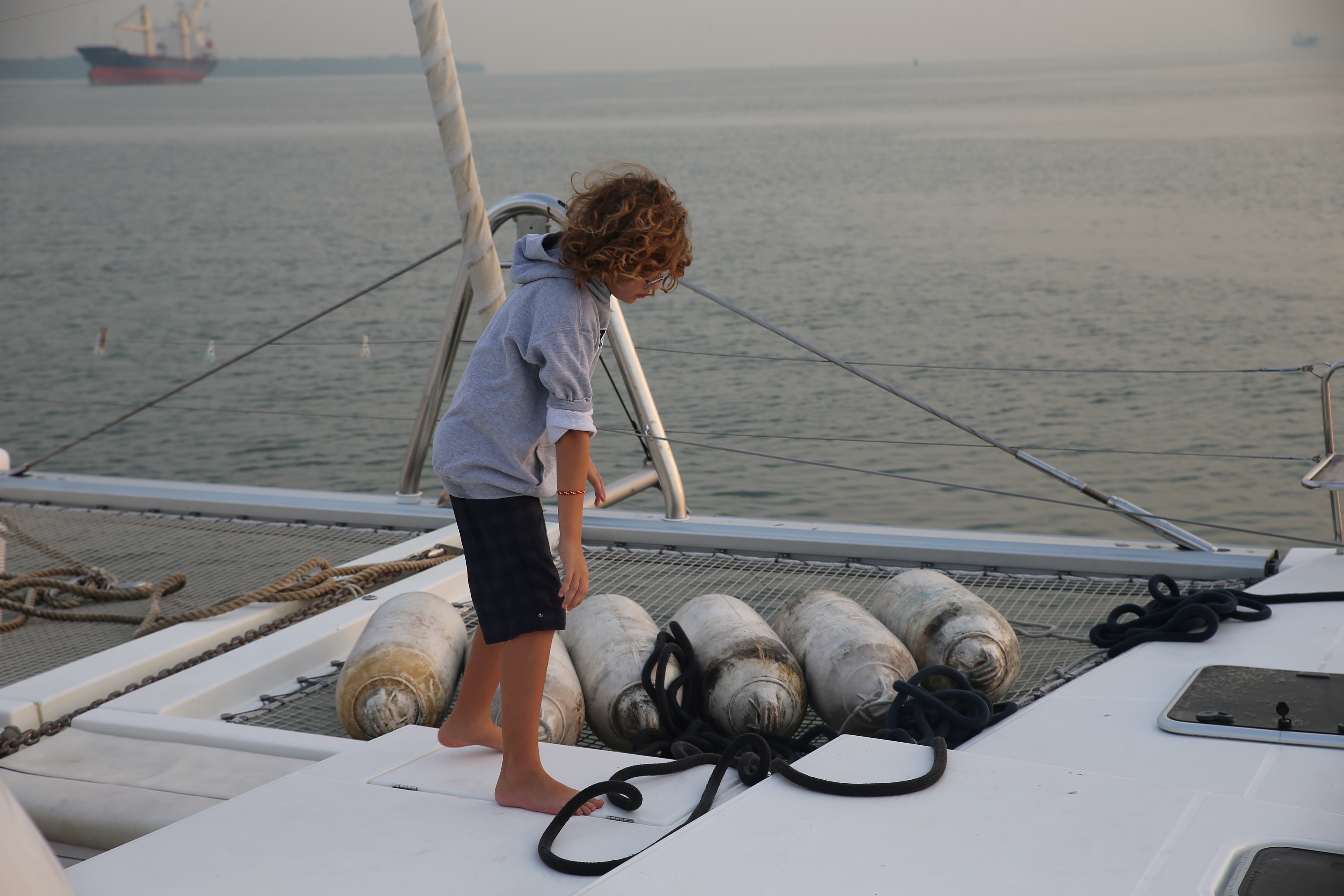
We anchored behind this island on our first stop in Malaysia. It’s about 40 miles up the Malacca Strait from Singapore. It was nice to be on the hook again after a month of city life in a marina. Good holding in 20 feet of water. It was calm enough for me to scrape Singapore barnacles off our hull and props.
Pulau Besar
02.06.603N, 102.20.629E
This was another anchorage 70 miles up the strait from Pisang. We wound up anchoring on the south side of the island because it was getting dark when we arrived. It was little rolly.
Port Dickson
Admiral Marina
02.28.573N, 101.50.704E
 We stayed at this marina for almost a week, using it as our home base for Sophie during our three day visit to Kuala Lumpur. The marina is clean and the staff was helpful. Their fuel dock was broken, but they brought 800 liters of diesel in jerrycans to Sophie’s dock. Once again, I got to pour them into our tanks. It was character building. The marina has a pool and an air conditioned bar with WiFi. That’s about it. We took a cab for the ten minute ride into town to clear into Malaysia Immigration/Customs/Harbormaster. It was a straightforward and friendly process. TripAdvisor claims that the best restaurant in Port Dickson is a pizza place by the beach. Do not eat there. In hindsight, we regret not making the effort to visit Melaka on a day trip, which is supposed to be beautiful and historic. But after our time in Singapore and Kuala Lumpur, we wanted to get back into cruising mode.
Port Klang
Royal Selangor Yacht Club (RSYC)
03.00.322N, 101.23.413E
 This was our next stop up the coast, and we docked in front of a beautiful facility on the river that connects Kuala Lumpur with the Indian Ocean. There was a strong current in the river, and Sophie strained against the floating dock. The RSYC has a reciprocal relationship with the Seattle Yacht Club, and during our visit we met the RSYC commodore and exchanged burgees with him. They had a big restaurant, a good bar, and a nice pool. We stayed two nights.
Pangkor Marina (Marina Island)
Pangkor
04.12.685N, 100.36.074E
 Our next stop was 40 miles up the coast from Klang, and our arrival here was a little stressful. The sun was setting, we were hit by a squall, the marina entrance was not clearly marked on our charts, and we had to motor 3 miles past the marina to avoid a big reef that runs north-south through the channel. Other than that, it was great. The marina looks like it will be an awesome facility when construction is completed in 3 years. They have a boatyard with a haulout that is big enough to lift Sophie. And we met Jack and Jackie on Barbara Ann, who have subsequently become our friends.
Straits Quay Marina
Penang
05.27.539N, 100.19.094E
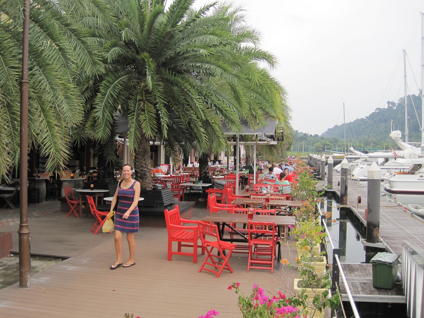
 We loved loved loved Penang. It was a 90 mile run up the coast from Pangkor, a longer trip for Sophie than for most boats, because our mast cannot fit under the two bridges that connect Pulau Penang with the mainland. For our first night we anchored outside of the marina, but it was rolly. For the next 6 days we had a dock at this friendly and inexpensive marina with a promenade featuring 10 restaurants. Nearby access to two supermarkets for provisioning. Easy access into town. Great culture. Monkeys who steal beer. Penang has it all.
Kuah, Langkawi
06.18.733N, 099.50.801E
This was our first stop in Langkawi, and we stayed here for one night. There was excellent holding for our anchor, and we could easily check in to Immigration and the Harbormaster. The marina at Kuah was under construction, which made it off-limits for us. The city itself reminded us of Indonesian cities like Ambon or Sorong, full of small businesses but not easily walkable, so we moved on.
Telaga, Langkawi
06.21.764N, 099.40.677E
 We spent over two weeks here, first in the anchorage and then in the marina. It is a great spot, and we will return here later this year. The holding in the anchorage was terrible, and multiple boats (including Sophie) dragged their anchors during squalls. The marina was much more protected and featured several excellent, inexpensive restaurants. They also had a machine that used an electric motor to pump diesel fuel directly into your boat. This was a first for us in almost 10 months. It is easy to rent a car for a day to head into town. Langkawi is a duty free port, which means there are no taxes paid for alcohol or for boat parts you ship in from the United States.
Pulau Singa Besar, Langkawi
06.13.598N, 099.44.800E
 We left Telaga for 5 days with our friends Misti and Abi to enjoy watersports in this anchorage 9 miles south of Telaga. We swam, paddleboarded, barbecued, drank, and played a lot of board games. We were back in Sophie Adventure Cruises mode, and it was a lot of fun. We were told that a local cruiser organizes impromptu bonfire singalongs on the beach here every Saturday night, but he had to cancel the week we were there.
Ko Lipe, Thailand
06.29.651N, 099.17.774E
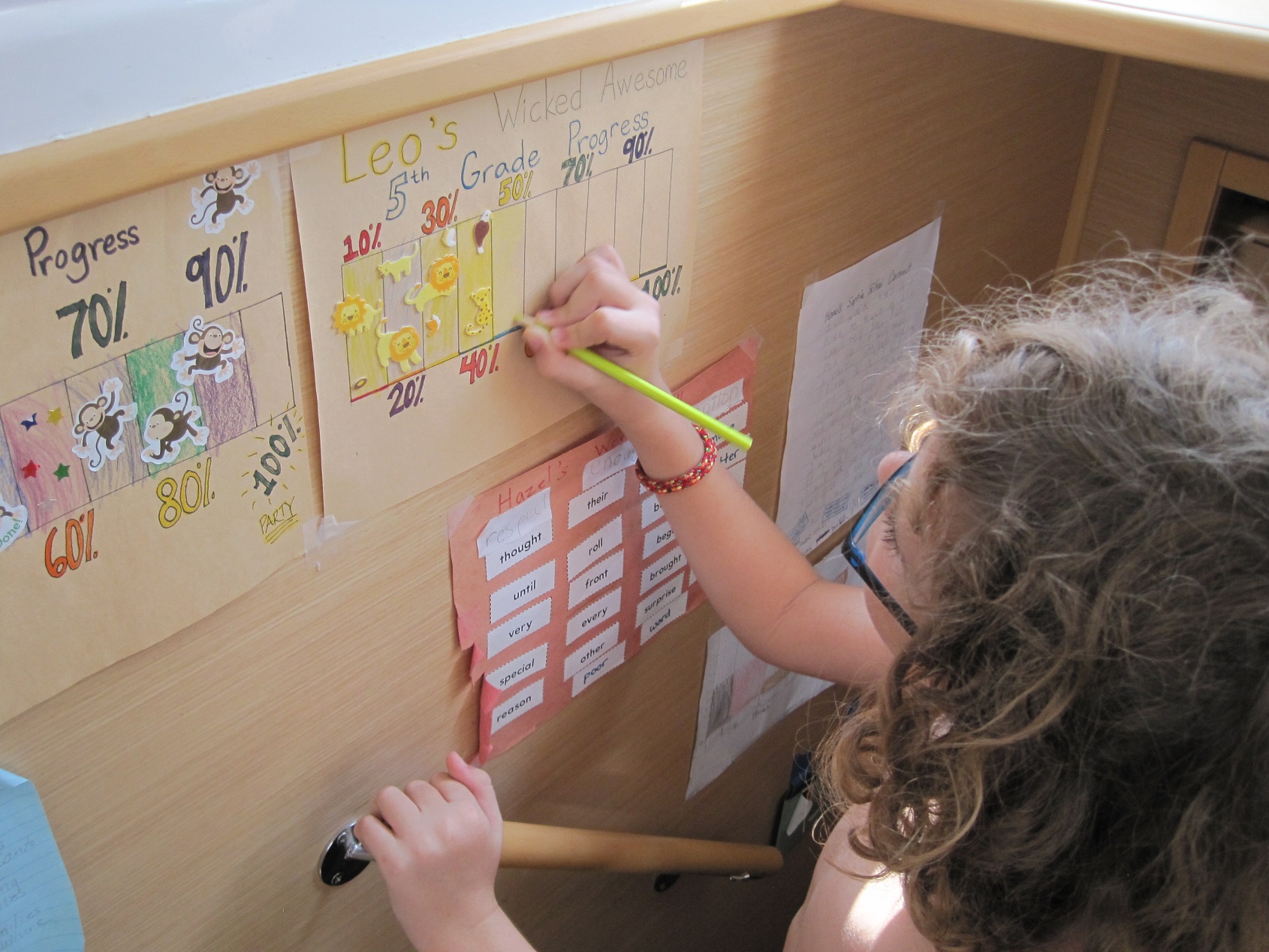
 We finally left Malaysia and spent two nights anchored on the north side of Ko Lipe. We never went to shore and instead spent our time padleboarding, swimming, and conducting Sophie School. The Ko Lipe area is part of a National Park, and we used a park service mooring even though we were warned to not trust any moorings in Thailand. After we tied up to the mooring, we ran both engines in reverse at 2000 RPMs, and nothing broke. Ko Lipe becomes much more crowded with the beginning of the high season in November, and we will return.
Ko Tarutao
06.42.456N, 099.40.072E
 After Ko Lipe we motored 25 miles east to visit another Thai National Park at Ko Turatao. Initially we anchored on the northwest tip of the island (06.41.764N, 099.38.249E) in order to visit “Crocodile Cave”, a spot where you pull yourself a couple of hundred meters along a rope on a raft to check out stalagmites and bats. But as we motored a mile up the mangrove in our dingy to reach the cave entrance, we saw a massive thunderboomer cloud approaching from the east. Our dingy motor has been a little tenuous lately, and Sophie was anchored in a very exposed area. So we punted on the idea of the cave (for now), got back to the boat, and motored around the corner to a much more sheltered anchorage. We anchored in 40 feet of water and marveled at the hundreds of basketball-sized jellyfish slowly bouncing around the bay. We did not swim.
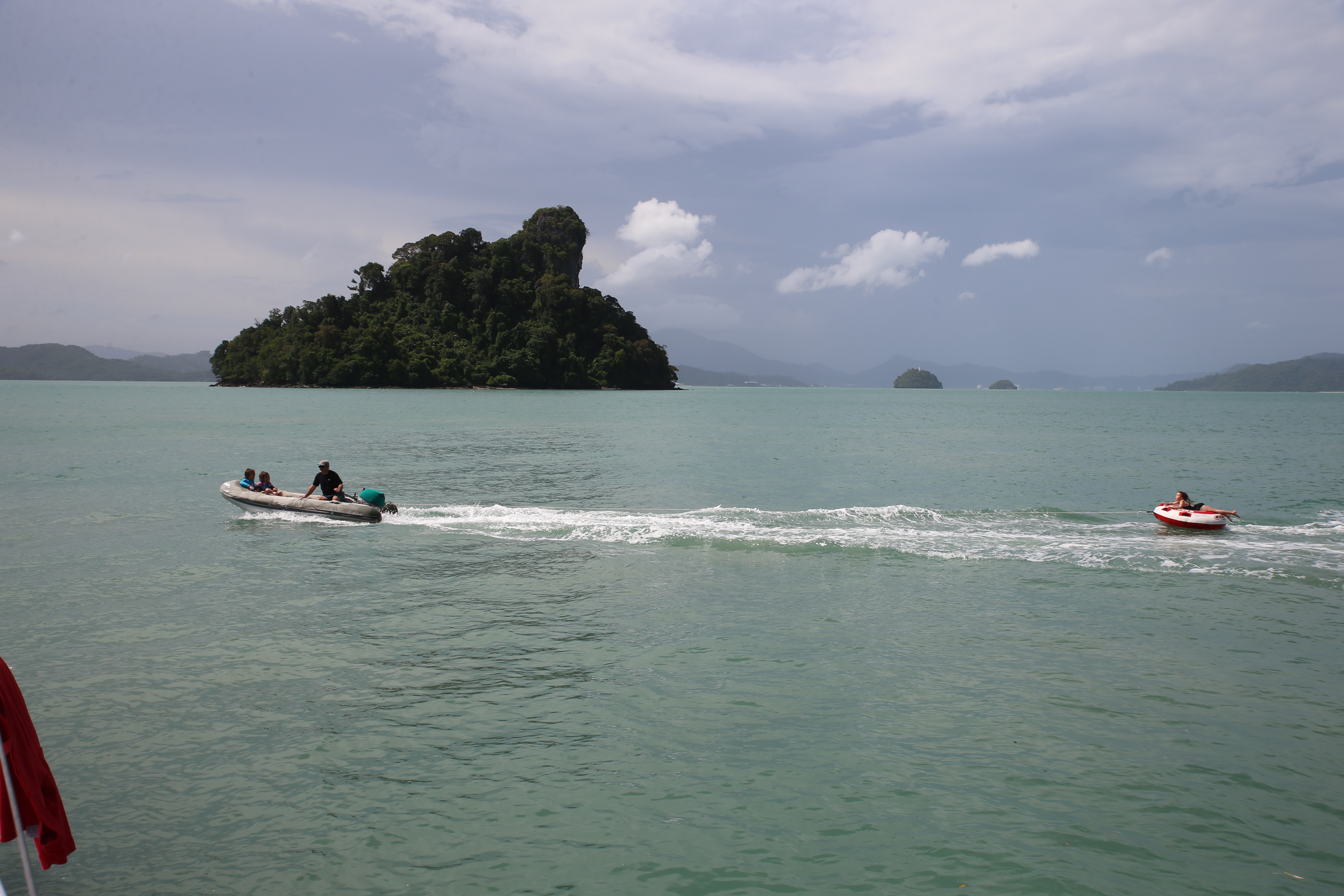
Ko Rok Nok, Ko Rok Nai
07.12.815N, 099.04.156E
 Our next stop was another Thai national park, and we picked up a mooring in the channel between these two small islands. Our first week of “monsoon” weather in Thailand was perfect, the water was crystal clear, and there were thousands of reef fish swimming under Sophie. We enjoyed a grand afternoon cavorting in the water. The next morning a bit of a squall showed up, and we were directly exposed to a southerly wind that would have pushed us onto a reef in about 5 seconds if our mooring line broke. We decided to leave that morning, knowing full well that we will return.
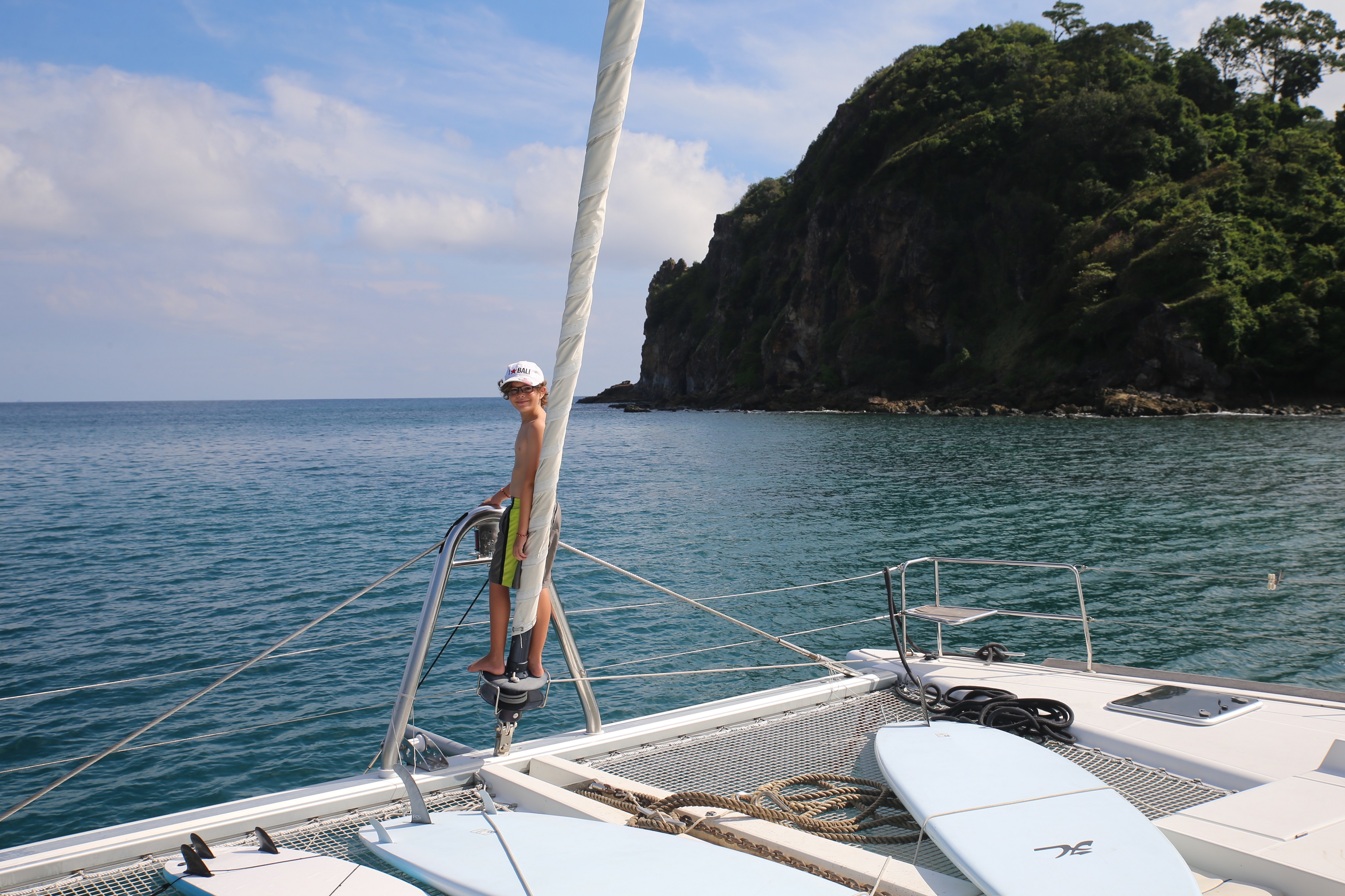
Ko Phi Phi Don, Ton Sai Bay
07.44.051N, 098.46.304E
 Phi Phi Don is a backpacker tourist island and is very, very cool. We anchored in the main harbor, slightly to the west of the route that the ferries, speedboats, and longtails use. Next time we’ll anchor to the west, away from the traffic and closer to the wall. The village reminded us of a bigger version of Gili Air, with 10 blocks of walking streets filled with backpacker bars, dive shops, tattoo parlors, and foot massage stands. Wandering these streets were Russian girls in bikinis and Australian bros with bad tats and hats, and everyone seemed to be having a good time. We stayed two nights and enjoyed some great people watching. We also caught up with our friends on Garuça Cat, whom we hadn’t seen since Bali. We will definitely be taking our nephews Steven and Dan here when they visit in the next few months.
Ko Phi Phi Le, Maya Bay
07.40.815N, 098.45.847E
 This day stop was literally spectacular, meaning “of or like a spectacle; marked by or given to an impressive, large-scale display.” Phi Phi Le is where the Leo DiCaprio movie “The Beach” was filmed, and it is apparently a required stop for every tourist who visits Phuket, which is 20 miles away. We arrived at 7:00 AM to grab one of the few mooring balls there, and by noon we counted over 50 high speed (500-1000+ hp outboards) tourist boats in the little bay. They would roar in, wait for their landing instructions from the BTC (Beach Traffic Controller), drop a sand hook off their bow, back 150 feet up to the beach, unload 20 tourists, then roar away. We counted a couple dozen of these boats lined up on the beach at one time, and later heard that during high season there are 2,000 boat trips a day to this little bay. Thankfully there is buoyed off swim area on the beach, and we simply sat in the water and marveled at the spectacle of thousands of tourists doing spinning panorama shots of themselves with their GoPros on selfie sticks.
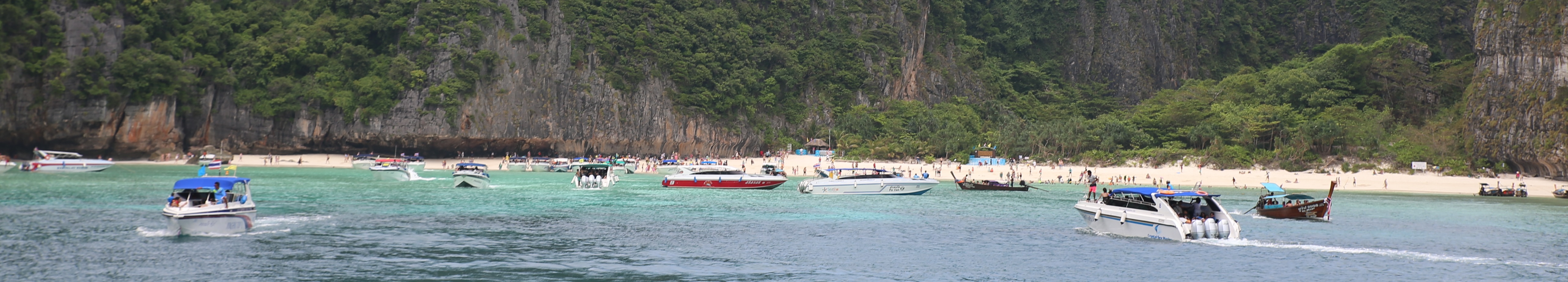 Remember, we’ve had most tropical beaches to ourselves for the last year, and this was a little more crowded. Phi Phi Le is a National Park, and we had to pay a beach landing fee of $40 for the family to enjoy the scene. It was worth every penny.
Ko Phi Phi Don, Laem Thong
07.46.744N, 098.45.956E
After the spectacle, we motored back up to Phi Phi Don and dropped the hook off of the sea gypsy village on the northeast coast of the island. It has a beautiful beach, nice coral, and wasn’t very crowded. There is a beach bar there named Jasmin, and we enjoyed a seven hour meal there, swapping stories with Peter, the Scot who’s married to Jasmin and serves as the restaurant’s official greeter and beer pourer. 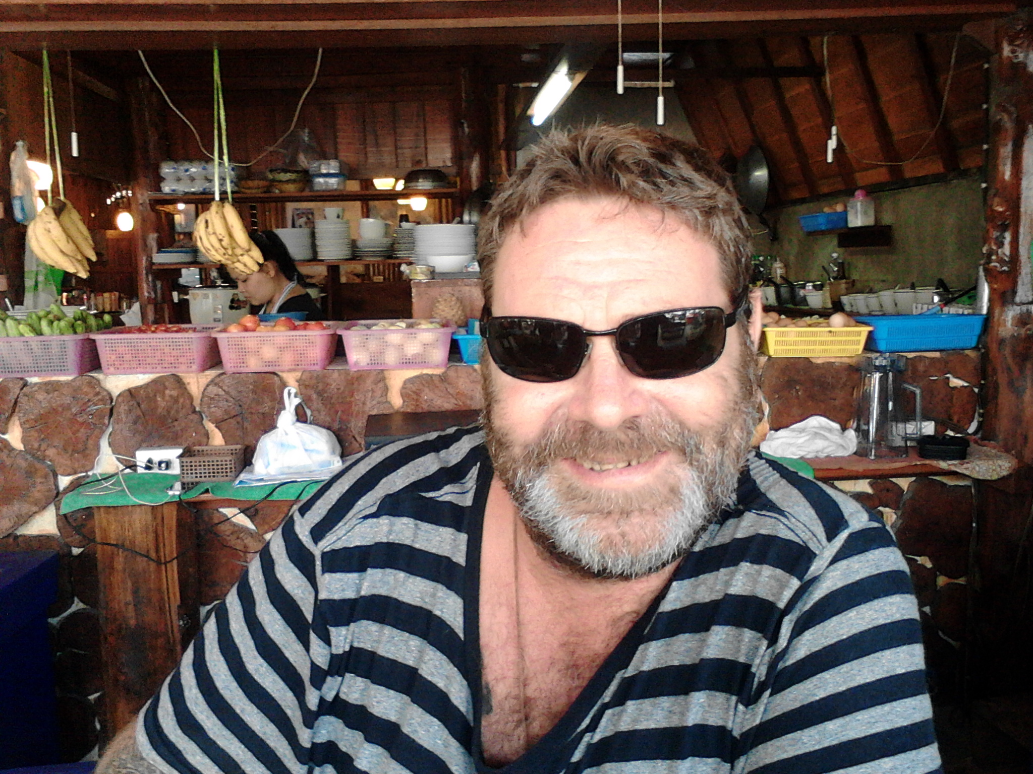 He’s quite a character, telling stories about Leo DiCaprio, Amy Winehouse, and his dark past in London. We will definitely be back.
Chalong, Phuket
07.48.965N, 098.21.574E
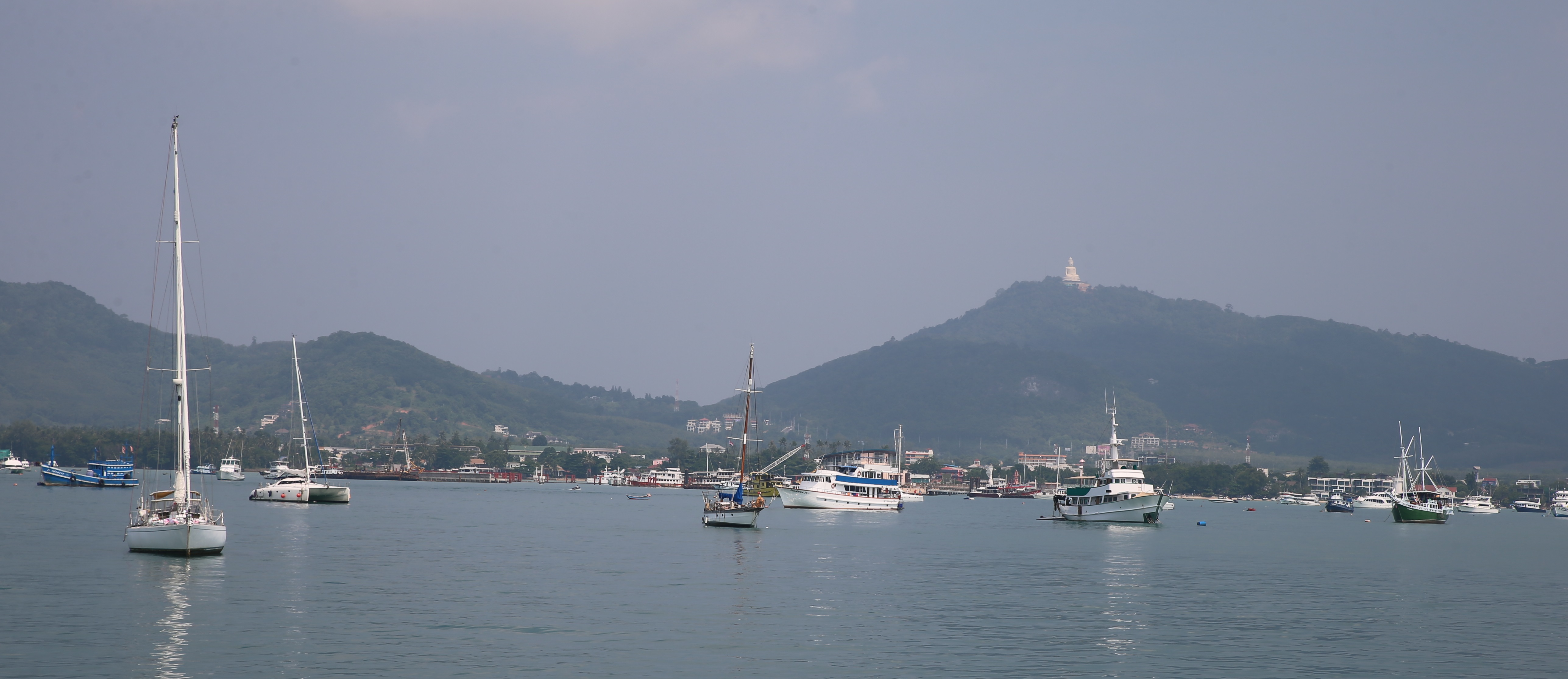 We could have stayed in the Phi Phi for a month (the kiddies never get tired of the fact that the islands’ name is pronounced “pee pee”), but we needed to officially check into Thailand so we motored over to Chalong harbor on the southern end of Phuket. On our way we caught our first tuna since November, thanks to advice we got from Peter. Apparently tuna and whale sharks are running through the islands here for the next few months, so we’ve got our lines back out after months of the fish nothingness that is otherwise known as Indonesia. Chalong has a one stop check-in center (Immigration, Customs, Harbormaster) all located in a single building at the end of a big pier that juts into the crowded harbor. Better yet, these different agencies use computers to share your information across their offices, so we only had to fill out a form one time, and that was on a computer! Amazing. We only spent one night here and anchored out from the main fleet. There are plenty of bars and tourist restaurants in the area, but we only stayed one night.
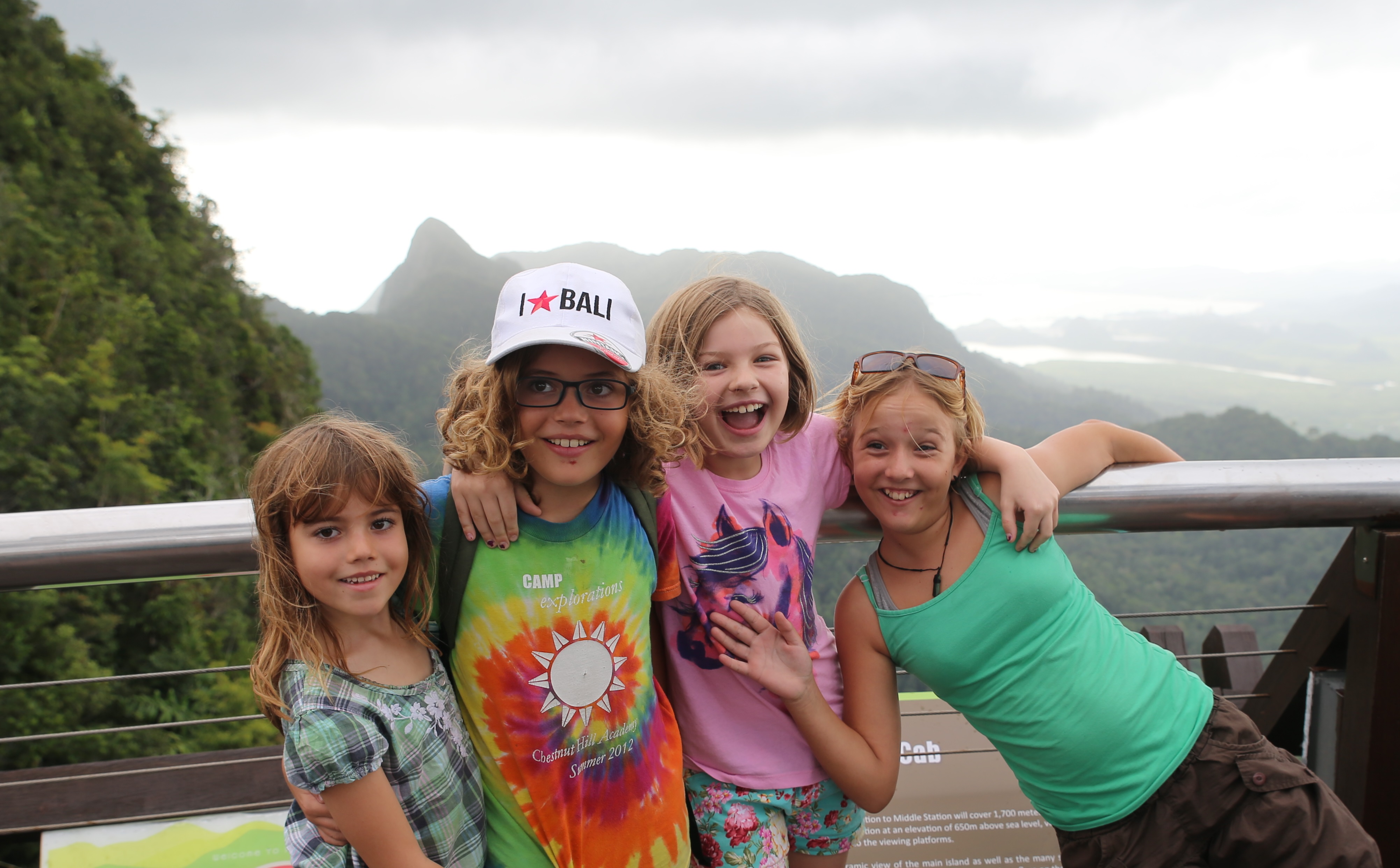
I continue to write on this blog that things on our little adventure keep getting better and better, and at some point you might begin to think that I am guilty of exaggeration. How could this be possible?
Come to Thailand, and you’ll understand.