 Here is another one for boats following in our footsteps, where we provide waypoints and advice on the different places where we have stopped over the last few months.
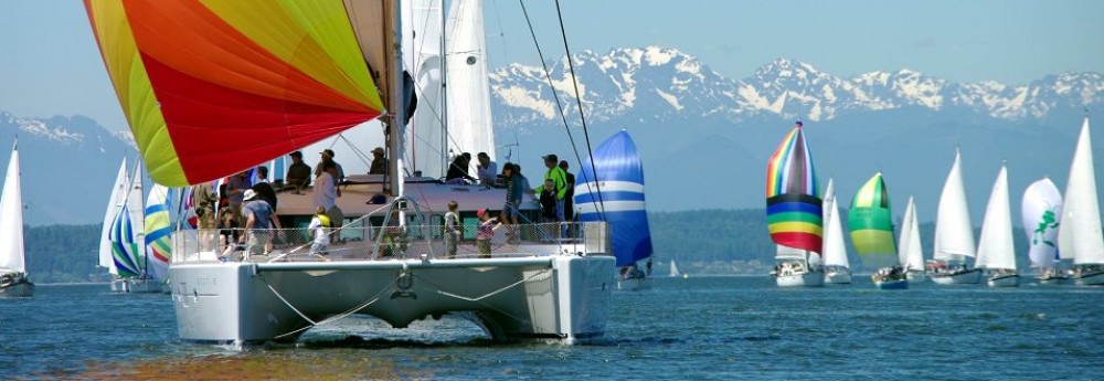
Before we entered Indonesia, we knew very little about this leg of our trip. Would we have run-ins with pirates? Would we encounter massive standing waves and rip tides that would send us sideways? Would the predominately Muslim population present problems for a boat full of Americans?
The thousand miles we covered from Bali to Singapore proved to be uneventful, with little wind during this transition period between the monsoon seasons. The people we met were uniformly kind, the fishermen all smiled and waved, and we experienced some of the best wildlife and snorkeling of our entire journey during this leg. We’ll come back here again some day.
 Pulau Serangan, Bali
08.43.100S 115.14.823E
This was our home while we visited Bali for over a month. Serangan is the main mooring and fishing boat anchorage on Bali’s west coast, and although the harbor is filled with hundreds of mooring buoys that you can rent, we anchored in 30 feet of mud on the eastern side of the harbor with 5 other sailboats. It was a secure spot, and we never dragged even during a 50 knot squall. The location is a short dinghy ride to the beaches of Sanur, but a huge mud flat appears in front of Sanur at low tide. I broke one of our dinghy wheels crossing it. A neighboring boat would frequently leave their dinghy at the park at Sanur, but they were often hassled and at one point even found sand poured into their gasoline tank. Instead, we would leave our dinghy on the inside of the ferry dock in the middle of Serangan harbor. We never had a problem, even at night, but it meant we had to take Blue Bird taxis to get anywhere in Bali. They have an app you can download to your phone, so at least they are reliable. We could buy diesel and gasoline in Serangan. Overall it was a quiet anchorage with pleasant people. We never wanted to swim here, however.
 Pulau Lembongan
08.40.675 S, 115.26.293E
This is a resort anchorage used mostly by day trippers coming over from Bali. A large reef provides shelter from northerlies. We stayed here on two separate occasions, and on both visits we grabbed a mooring near the tour boats in 20 feet of water. No one came by to collect money. We loved swimming in the clear water after a month of Serangan’s mud. The harbor gets loud during the day but quiets down after 3:00 PM when the tourists leave. Note that Selat Lombok can have a 5 knot south-setting current, so when heading north it’s best to hug the Bali coast before turning right for Lembongan. You need REALLY to do this if heading north to the Gili Islands or you run the risk of having the current deposit you in Darwin.
 Gili Air
08.21.948 S, 116.04.932 E
We visited Gili Air twice, once on our way into Bali and once on our way out. The anchorage is protected by reefs, and we picked up a mooring on each visit. We were only charged during our first visit. Gili is a laid back tourist spot with no cars and a sand path that circles the island. Little horse carts are used to haul food and luggage to the hotels. There is supposed to be excellent snorkeling nearby. We wound up leaving our dinghy tied to the inside of the ferry dock. It was safe there, but little school kids enjoyed swimming off it. There are no stores or diesel available at Gili, but we ate in the beachfront restaurants every night. The kiddies didn’t complain too much.
Pulau Kangean
06.51.511S, 115.13.943E
After Gili we did a 110 mile overnight run to Kangean. It was a beautiful and sheltered harbor, and we anchored in 50 feet of mud a little east of the navigation marker. We enjoyed the sun and the fact we were out in a quiet anchorage for the first time in over a month. There were a couple of small fishing villages onshore and a nice-looking beach that was crowded with fishing boats, but we opted to hang out and rest.
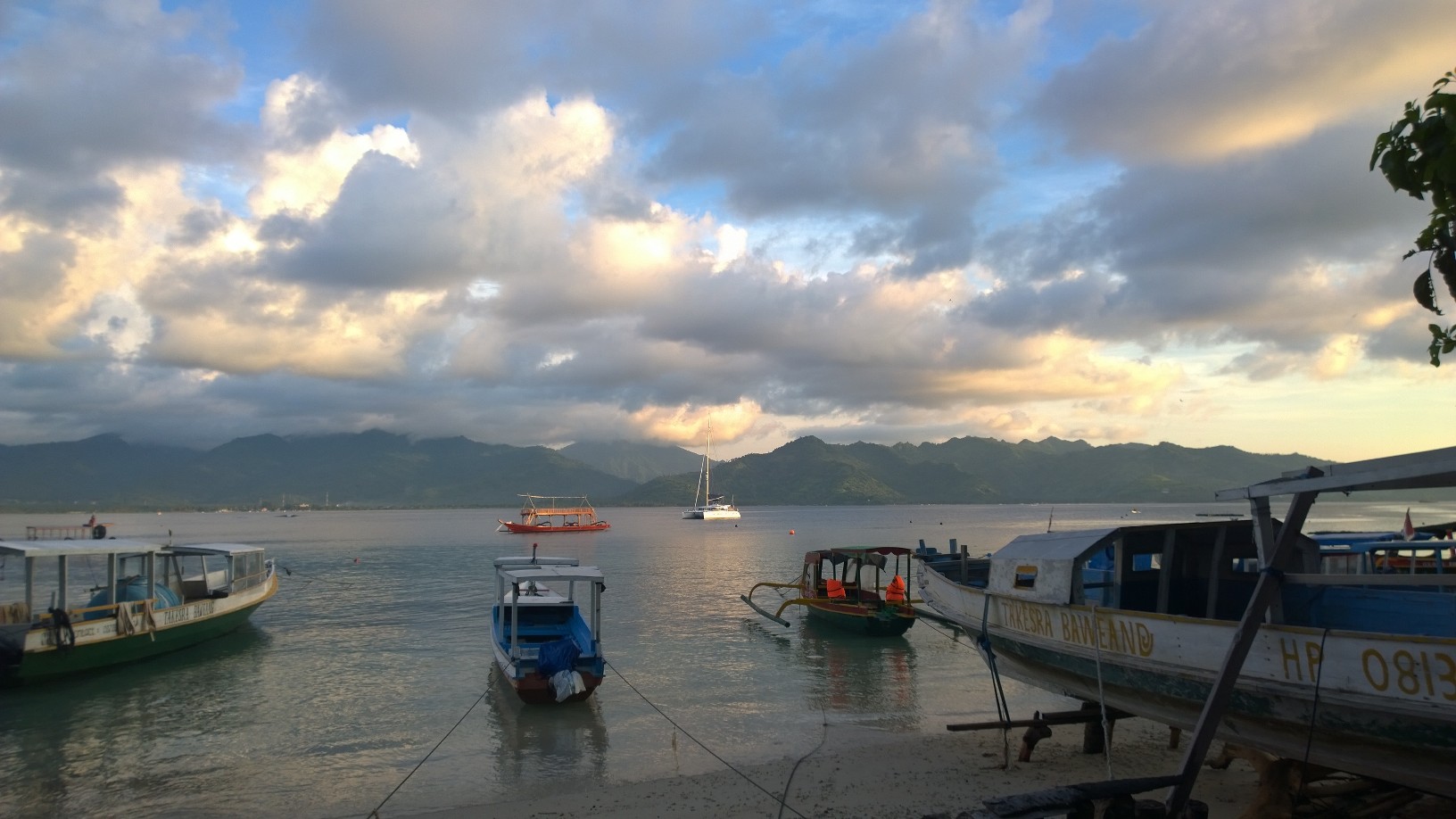
 Pulau Bawean
05.43.796S 112.40.200E
We sailed another 160 northwest from Kangean to Pulau Bawean, another sheltered stopover on our way to Kumai. This island was bigger and more developed than Kangean, and we shared our anchorage with several fishing boats. It’s important to note that fishing boats are now ubiquitous, and we have to pay careful attention to avoid their nets. We anchored here in the first big bay on the north side of the island and had another quiet and sheltered stopover.
 Kumai, Kalimantan, Borneo
02.44.372S, 111.44.002E
From Bawean we traveled another 200 miles north to Kumai, where we anchored in the river for a few days as we visited the orangutans on a tour boat. We successfully navigated the river using the waypoints published on Harry’s Yacht Services website. Kumai is a commercial port on a tidal river with wharves on one side and mangroves on the other. Dozens of shallow draft freighters navigate the river every day. You also have to be on the watch for “floating islands,” which are large chunks of mangrove being carried by the current out to sea. As we approached Kumai, we were met by a guy in a speedboat who we wound up hiring to arrange our orangutan tour, watch our boat (from the cockpit) while we were gone, and supply us with diesel. The most interesting thing about Kumai itself were the dozens of 5 story warehouses scattered throughout the town. They were swallows nest factories. Kumai itself was not very interesting, but the orangutan tour was a major highlight of our entire trip. Once the tour was over and our diesel tanks were topped of, we left.
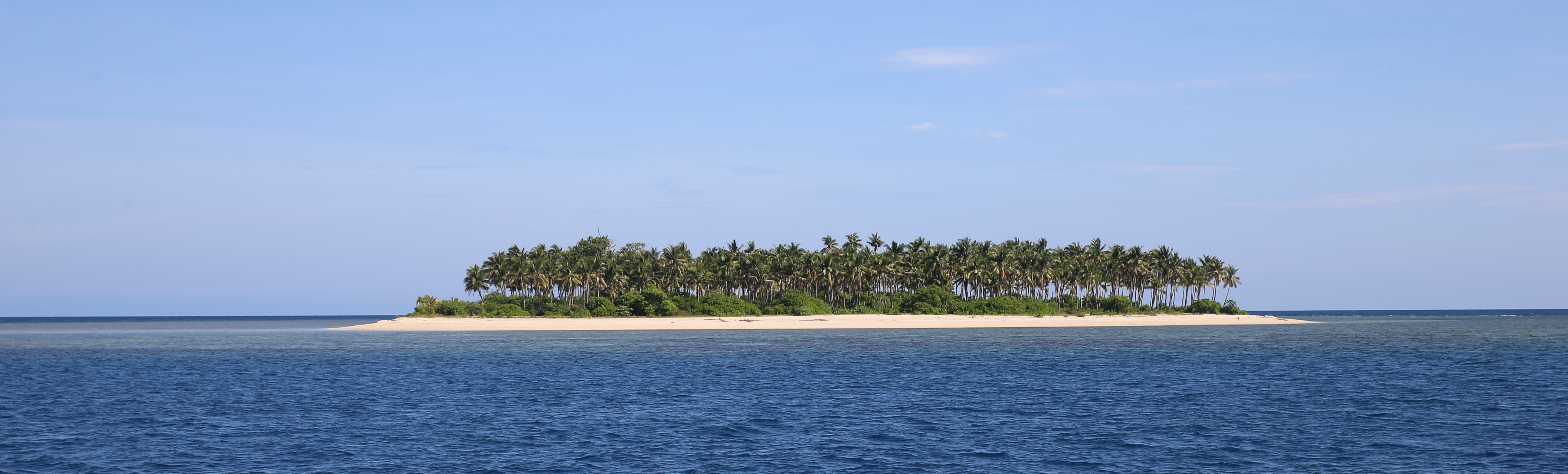 Pulau Sembilan (off Pulau Nangka)
02.31.040S, 108.31.779E
After Kumai, we sailed (sailed!) 200 miles west to Pulau Nangka, our first stopover on our way to Singapore. The anchorage in Nangka was rolly and exposed to the north, so we pulled up and moved another 2 miles to the south side of Sembilan where we anchored in 50 feet of sand, right off of coral reefs. This place was beautiful, and we stayed four nights. We would have stayed longer but were running low on food. Sembilan is deserted and ringed by a sand beach, which in turn was ringed by a coral reef. It was like we were back in the South Pacific. It felt great to swim all day. Some local fisherman camped out on the beach at night, but they left us alone. Great stop.
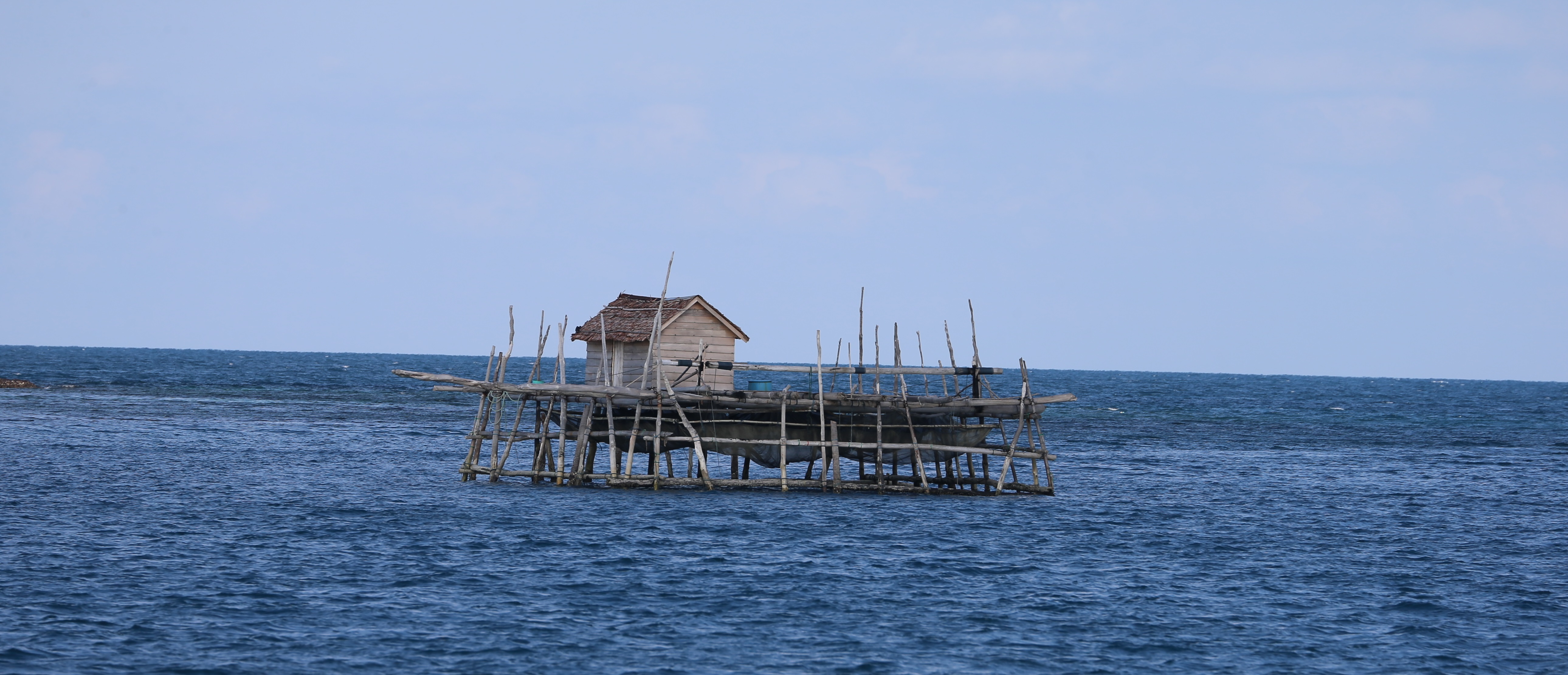 Pulau Mesanak
00.24.270N, 104.33.551E
From Sembilan we made a 300 mile run northwest to Mesanak. Our original pan was to break this leg up into two trips with a stopover on Pulau Bangka, but we were well rested, had plenty of fuel, and the seas were flat, so we kept pushing. Mesanak was another quiet, sheltered harbor with a lot of fishermen. It had 20 huge fish trap houses on stilts throughout the harbor. This whole part of Indonesia – the Riau, Bangka, and Lingga islands – is where boats based in Singapore and Thailand go cruising. We could easily have spent a month exploring this beautiful area, but we are not sure we want to deal with the bureaucracy required to re-enter Indonesia. This was another great stop.
 Nongsa Point Marina, Nongsa Point, Pulau Batam
01.11.780N, 104.05.777E
This is an actual, real, modern marina with shore power and attendants with radios who run out and help you dock your boat! It is part of a hotel complex with a pool, restaurant, golf course, and a bike trail. I learned later on in Singapore that the marina has an excellent boat detailing service and that many boats in Singapore head over to Nongsa to get their boats waxed and polished. Sophie is looking a little dull these days, and the equatorial heat deadens any ambition I have to wax the boat right now. So detailing will have to wait until Thailand. The people from Nongsa handled our Indonesia immigration and customs clearance for us. That in and of itself made this an excellent stop.
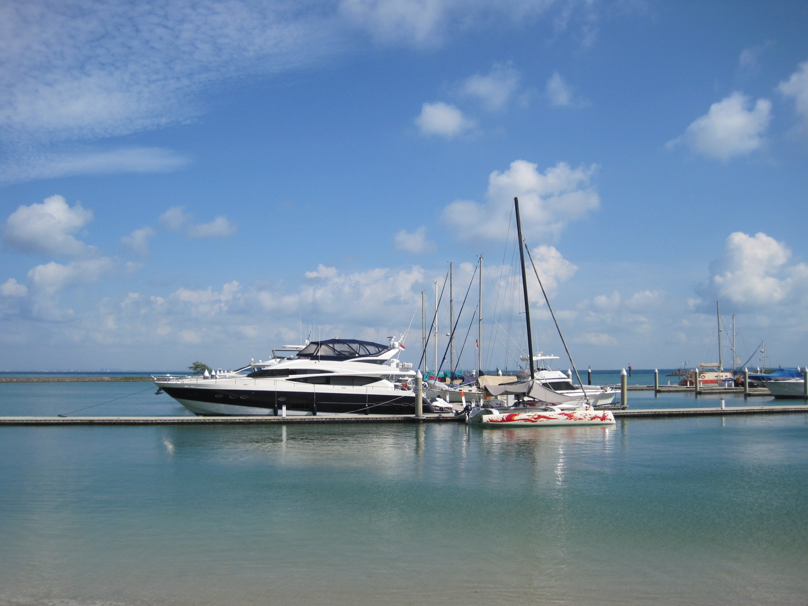
 The Republic of Singapore Yacht Club, Singapore
01.17.666N, 103.45.696E
Our current home is a marina on the southwest coast of Singapore. We didn’t realize it a month ago, but the presence of the Singapore Yacht Show last week made it very difficult to find a berth in this country due to all of the boats coming down from Thailand and Malaysia. We were lucky to get a berth here. The facility at the yacht club is excellent: hotel, restaurant, bar, huge swimming pool, gym, steam room, kids room, gambling room, mahjong room, karaoke club, concierge, and 7×24 security. It’s adjacent to a huge park with bike trails and one of Singapore’s best playgrounds. There is also easy access to public transportation. The only downside? It’s rolly here. Rolly, rolly, rolly. The marina docks are located right next to the immigration dock where service boats pick up and drop of crews for all of the commercial vessels anchored off Singapore. These service boats are all 50 foot twin diesel pilot boats, and their skippers fishtail them into the dock like toddlers driving bumper cars at the “No Parents” night at the amusement park. They kick up a lot of wake, which isn’t a problem for cats like Sophie, but the monohulls swing like pendulums. The staff all seem surprised when we tell them we love the dock. This is a great place for cats, with an excellent and friendly staff.
